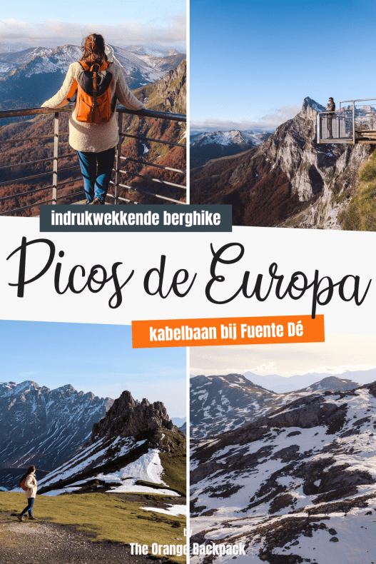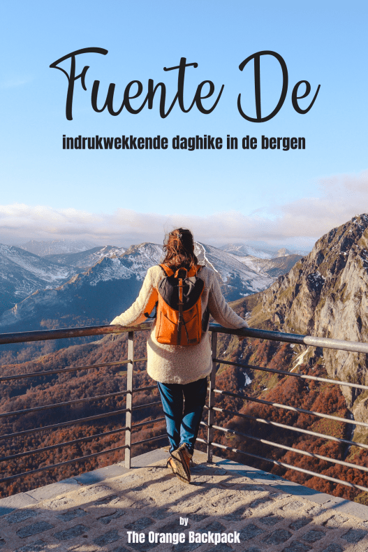
Looking for a great day hike in Los Picos de Europa? Go for the hike from the Fuente Dé cable car! Picos de Europa National Park may not have the highest mountains in Europe, but it’s easily one of the most beautiful mountain areas on the continent. It lies in north-western Spain, just 20 kilometres from the coast, spread across the regions of Asturias, Cantabria and León. The easiest way to reach the highest peaks is the cable car at Fuente Dé. And here’s the trick: don’t buy a return ticket. Get a one-way ticket and walk back down on the best day hike in Los Picos.
→ Discover the 15 best things to do in Los Picos de Europa
Why Is This Hike in Los Picos Worth It?
Want a long hike you can do in a single day, see the highest peaks and skip hundreds of metres of climbing? Then the walk from Fuente Dé is your best bet. The cable car whisks you up in a few minutes, so you’re standing among the peaks straight away. From there you walk down through ever-changing scenery. In one day hike you get the best of Los Picos de Europa: the highest summits, the green valley and everything in between.


Hiking Downhill from the Fuente Dé Cable Car
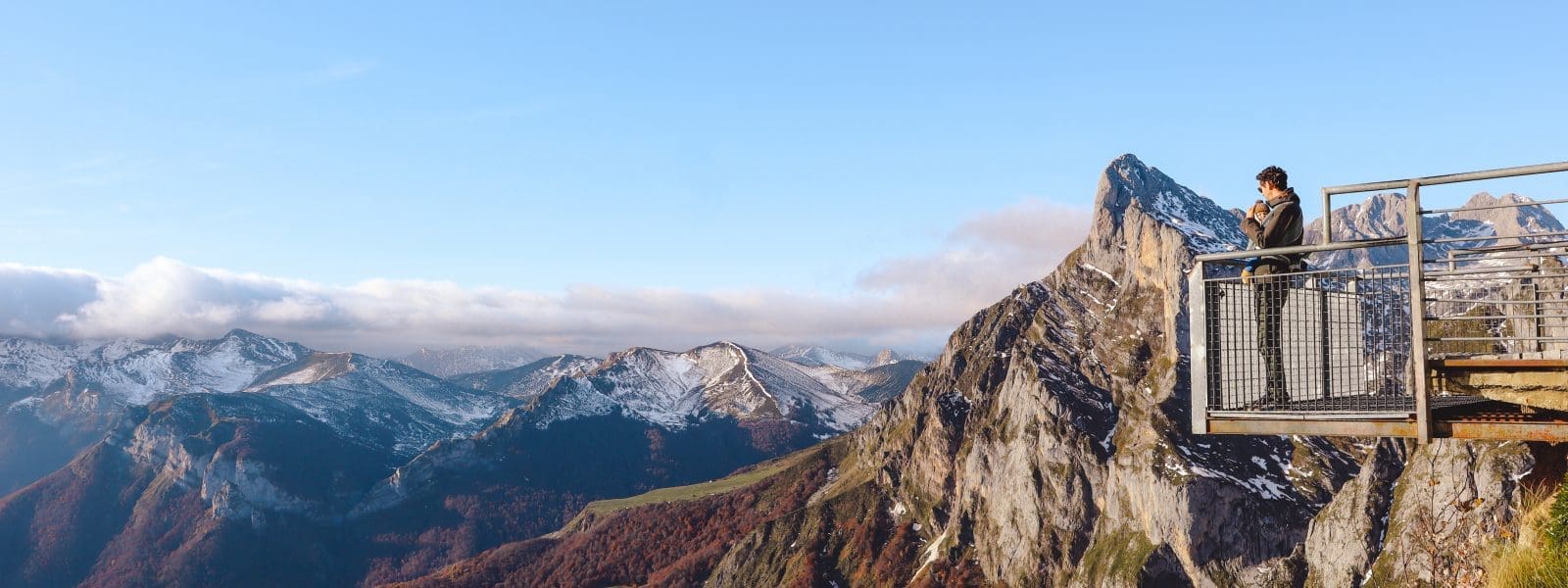
One of the highlights of Los Picos de Europa is the Fuente Dé cable car. In under four minutes the cabin carries you and around twenty others more than 750 metres up. You step out at over 1,800 metres, and that view speaks for itself.
We actually did this hike by accident. It was our first long trip with a baby, and in the months before we’d poured all our attention into building our little campervan. So we hadn’t done much research. But everywhere we looked, this hike was recommended: take the cable car up, then walk back down. Sounded fun and easy enough.
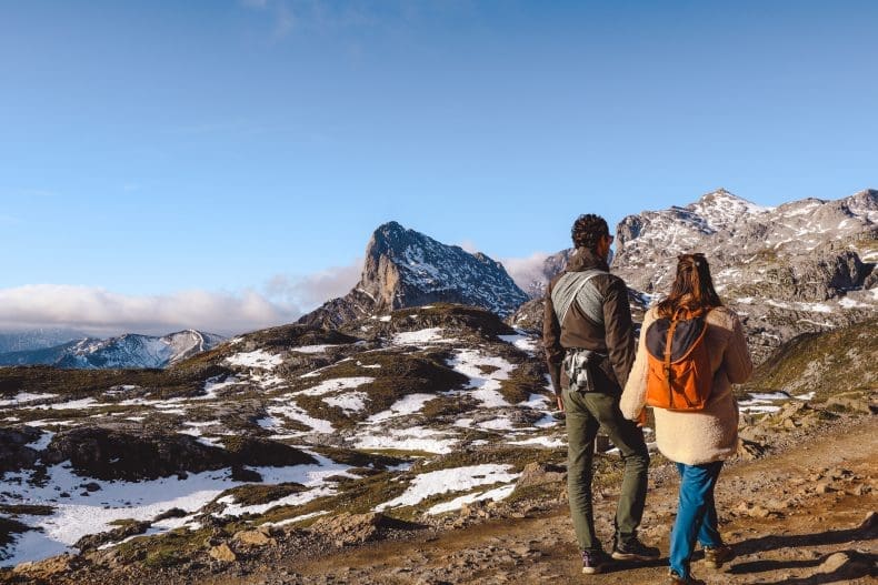
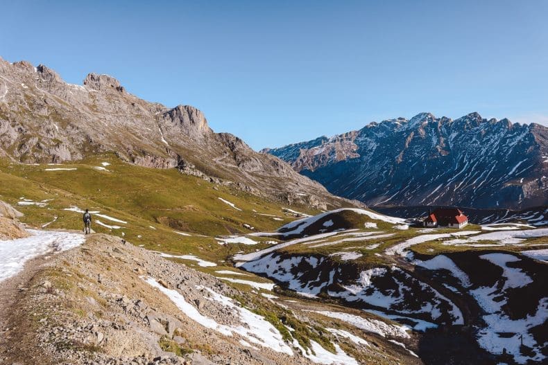
We hadn’t seen the snow coming in November. Luckily we read about it just in time and pulled on our warmest clothes. Up top we walked between snow-capped peaks, often ankle-deep in snow. At that time of year we didn’t notice any of the crowds around the cable car, by the way. What a place for our baby’s first taste of snow! Our daughter was snug in the carrier with her dad, Sebastiaan, and didn’t mind one bit. Food and drink for her? Mum always had that covered.
From there you walk mostly downhill, back to the starting point at Fuente Dé. Sounds easy, but don’t underestimate it. There’s hardly any climbing, but you do cover about 16 kilometres. Based on this description we expected a short descent of under an hour. Perfectly doable with a seven-month-old in the carrier, we thought. Food? Not needed, and a small bottle of water would surely do. Oops. It took us two and a half hours to realise this was no short, easy stroll. Allow 4 to 5 hours and bring plenty.

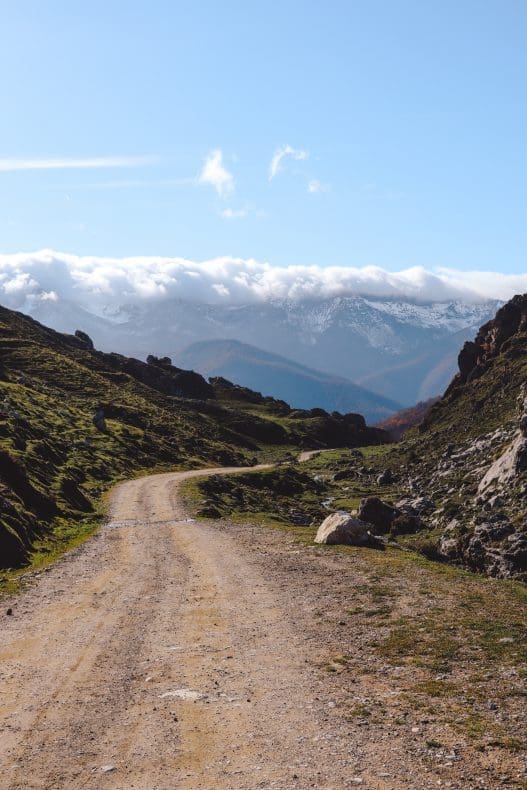
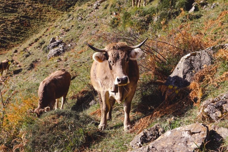
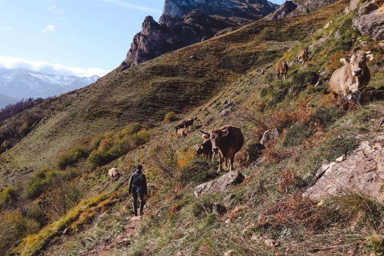
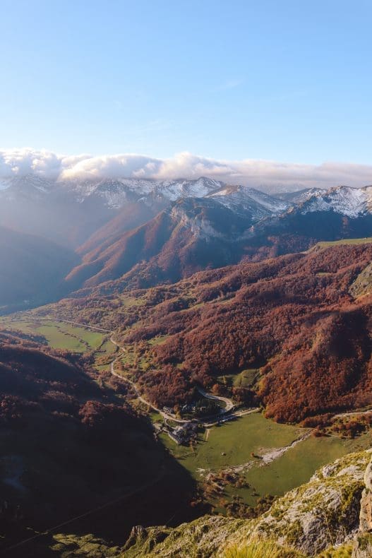
On the way down the scenery keeps changing. First snowy peaks and bare rock, then wide green meadows with cows and their noisy bells, and finally wooded hills.
The track soon widens. The first buildings you pass are Chalet Real and, just after, Refugio de Áliva. 4WD vehicles are allowed all the way up to the refuge, for supplies and to drop off hotel guests. In summer walkers can grab a drink here too, but during our autumn visit the refuge was closed.
Still, it was a brilliant day. Those snowy peaks against a clear blue sky, and our first child as a baby in the carrier: looking back, an unforgettable memory, and photos we still love looking at. Two years later we were back in Picos de Europa, this time for a whole week. We wrote plenty more tips about that trip.
→ Discover how to visit the Covadonga Lakes in Picos de Europa
→ Discover our 2-week road trip through northern Spain


Practical Information
Which Route Do You Follow?
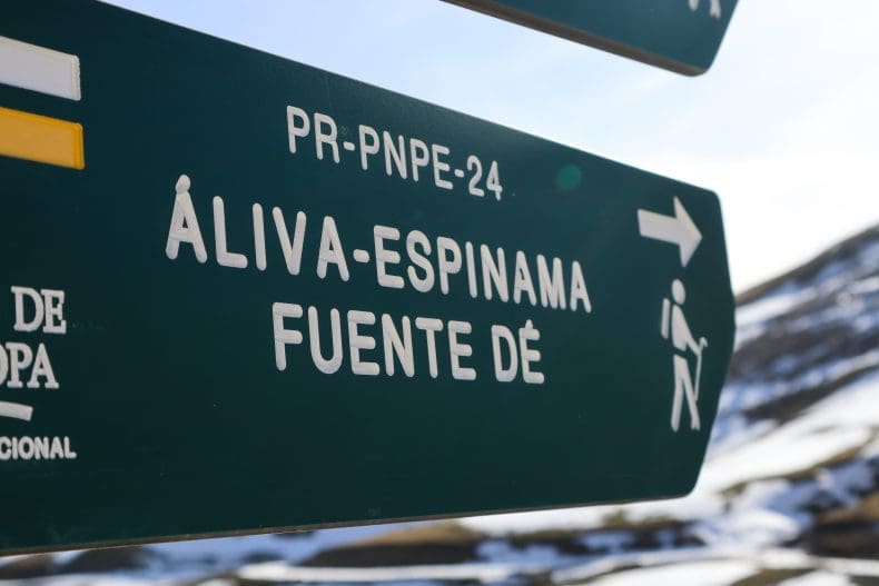
Getting lost is tricky. Officially this walk is called PR-PNPE 24 Puertos de Áliva. From the cable car and the viewpoint, a clear track heads into the mountains. You’ll pass a few junctions and side paths, but each time it’s well signposted which way to go for Fuente Dé (or nearby Espinama). Pay attention at the national park gate, though. Up to there both villages share the same signs, but this is where the path splits. From this point, follow Fuente Dé and no longer Espinama.
How Long Does the Hike Take?
Allow 4 to 5 hours. You cover about 16 kilometres, almost all of it downhill. That saves you the climbing, but by the end you’ll definitely feel your legs. So bring enough food and water, not just a small bottle like we did.
Where Can You Find the GPX Route?
There’s no phone signal up in the mountains, so download the route to your phone beforehand if you want to check it on the way. You’ll find the exact GPX route on our map below.
How Do You Buy Cable Car Tickets?
In high season the cable car can get very busy, but we didn’t notice any of that in autumn. There’s free parking at the foot of the cable car and a little further along. Buy a one-way ticket up, since you’ll be walking back. You can get tickets on the spot or online in advance, and children up to five ride for free. In summer waiting times can really add up. You don’t have to stand in line the whole time, though: you get a number and can do something else in the meantime.
Tip: at the top station you’ll find the El Cable café-restaurant. Forgot to pack food, like us? This is your last chance.
Where to Stay in Fuente Dé?
Want to be on the very first cable car in the morning? Or collapse into a comfy bed after a long hike? You can stay right in Fuente Dé. There’s a campsite, and at the foot of the cable car you’ll find the Parador de Fuente Dé, with the mountain wall practically in your back garden.
When Is the Best Time to Do the Hike?
Every season has something going for it. Summer brings the nicest weather, but also the biggest crowds. We heard stories of people waiting three hours for the cable car up, and then another two hours to get back down. In autumn that’s not an issue, but snow and ice on the trails can be. Wear sturdy hiking boots and dress warmly, although the walking will soon warm you up.
Save this pin for later: