On my birthday in Sneem, the thermometer hit 31 degrees. We’d packed for wind and drizzle, and suddenly we were hunting for shade on every beach. Two days later we were walking through a mountain forest in our rain jackets. That’s the Ring of Kerry in a nutshell: the weather can flip in a few hours, the views never do.
Ireland’s most famous drive loops around Iveragh, one of the big peninsulas in the southwest. We drove it clockwise from Kenmare and took several days over it, which left plenty of time for a white-sand bay at Derrynane, a sunset on Inny Beach and an evening by an ivy-covered castle ruin.
In this blog you’ll find the 10 best stops on the Ring of Kerry in the order we drove them, plus tips on the route, the driving and the boat trips to Skellig Michael, the rocky island where monks went looking for peace and quiet centuries before Luke Skywalker did.
What is the Ring of Kerry?
The Ring of Kerry is a famous scenic driving route in the southwest of Ireland. Drive the full loop without detours and you’ll clock up about 180 kilometres through County Kerry. The route follows the N70, N71 and N72 through Killorglin, Cahersiveen, Waterville, Sneem and Kenmare, then brings you back round via Killarney.
Right in the middle of the peninsula rise the MacGillycuddy’s Reeks, Ireland’s highest mountain range, topped by 1,038-metre Carrauntoohil. Along the coast you get sandy beaches, cliffs and little harbours, and out west the Skelligs appear on the horizon. You’ll keep turning off the main road for beaches and viewpoints, so expect to drive a fair bit more than 180 kilometres.
On the western side you can add the Skellig Ring, a narrow loop past Ballinskelligs, St Finian’s Bay and Portmagee. Tour coaches can’t use it, the road hugs the coast and for us it had the best views of the whole drive.
Tips for driving the Ring of Kerry
How many days do you need for the Ring of Kerry?
Without stopping, you could drive the Ring of Kerry in a few hours, but you’d mostly see it through the windscreen. Give it two or three days instead. That leaves time for an afternoon on the beach, the Skellig Ring and a walk or bike ride in Killarney National Park.
With the kids, we took about four days, including the inland mountain road and a morning in Killarney. It felt relaxed: drive a bit in the morning, linger somewhere in the afternoon. Planning a boat trip to Skellig Michael? Keep a spare day up your sleeve, because when the wind picks up the boats stay in the harbour.
→ Discover our 3-week Ireland road trip itinerary in 10 stops
→ Discover the 18 best stops on the Wild Atlantic Way
Which direction should you drive the Ring of Kerry?
Tour coaches drive the Ring of Kerry anticlockwise, out of Killarney via Killorglin. We drove clockwise for the entire trip, so here too: from Kenmare along the south coast to Sneem and Derrynane, over the Skellig Ring to Cahersiveen and through the mountains back towards Killarney.
This is also the unofficial advice. That way you meet the coaches coming the other way, but you never end up crawling along behind one. On a narrow stretch you might wait in a passing place until a bus has squeezed past, and it never took long. Clockwise also puts you on the sea side of the road, with the bays right next to you.
Starting in Killarney? Then drive to Kenmare first via Ladies View and Moll’s Gap, and follow the stops in this blog from there.
Is the Ring of Kerry hard to drive?
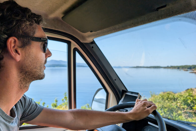
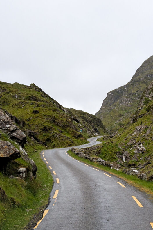
The main route is a well-kept road, just narrower and twistier than you’re probably used to. It’s signposted all the way round, and the Skellig Ring has its own signs too. We also had Google Maps running, which helped with turn-offs to beaches and viewpoints that aren’t on the signs.
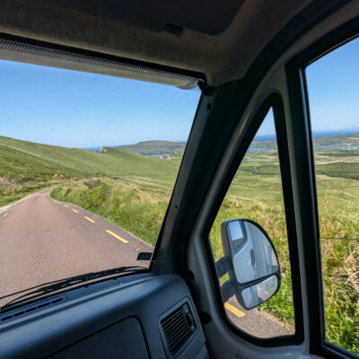
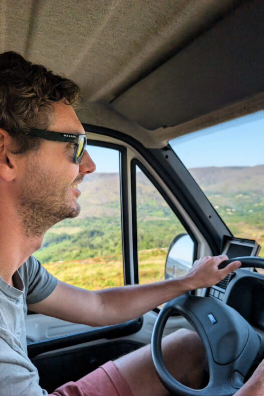
The trickiest bit is the Coomanaspig Pass on the Skellig Ring, between St Finian’s Bay and Portmagee. The road climbs steeply to almost 250 metres and throws in some tight bends. We drove it in our six-metre campervan, and yes, it’s steep. In a small hire car it’s a lot less stressful, but bigger vehicles get over it too.
Parking at the smaller stops can be a bit of a squeeze. The Ring was busier than the rest of our trip, but on the country’s best-known drive you’d expect nothing less.
Our tip: book your rental car through Discover Cars. It compares all the big rental companies in one go, so you can easily find the best deal.
→ Read all our tips for renting a car in Ireland
→ Read all our tips for Ireland by campervan
What is the best time to drive the Ring of Kerry?
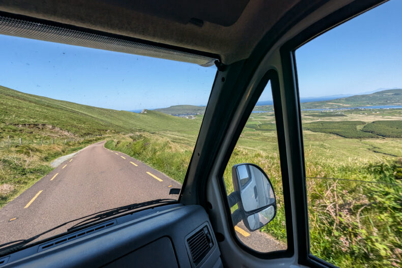
May, June and September are ideal. The days are long, the hills are green and the roads are quieter than in the summer holidays. In late spring, rhododendrons turn whole hillsides pink and puffins whizz around Skellig Michael.
Just don’t count on anything. We had a 31-degree heatwave on the Ring, and a day later it was fourteen degrees colder and pouring. Pack sun cream and a rain jacket, and save the beach time for the good days.
Where to stay on the Ring of Kerry
Don’t fancy driving the whole loop every day? Pick two bases: one on the east side in Kenmare or Killarney and one out west in Portmagee.
#1 Brook Lane Hotel in Kenmare is a small boutique hotel with warm, modern rooms, a few minutes’ walk from the town’s painted streets. Driving clockwise, you’re on the coast road to Sneem in no time the next morning.
#2 The Moorings overlooks the harbour in Portmagee and has its own pub and seafood restaurant downstairs. Heading out to the Skelligs? After breakfast you’re on the quay in minutes.
#3 The Ross is a boutique hotel right in the middle of Killarney, with a bar that’s perfect for flopping into after a day in the mountains. The national park and Ross Castle are a short drive away.
The 10 best stops on the Ring of Kerry
The stops are in the order we drove them: clockwise, starting in Kenmare.
#1 Kenmare: colourful town with a stone circle
Before starting the Ring, we spent the night across the Kenmare River on a little pebble beach near Glanlough. There wasn’t a soul around, and across the water lay the peninsula we’d spend the next few days driving round.
So our loop started in Kenmare. The town sits at the head of Kenmare Bay and is built around three streets that form a triangle, lined with painted shopfronts, boutiques and pubs. Kenmare is known for its restaurants, so lunch or dinner here is a good way to kick off the drive.
Just outside the centre is the Bronze Age Kenmare Stone Circle: fifteen big stones in an oval, with a burial monument in the middle made of a large flat boulder resting on smaller stones. Nobody knows exactly what the circle was for.
#2 Sneem: birthday cake and stone pyramids
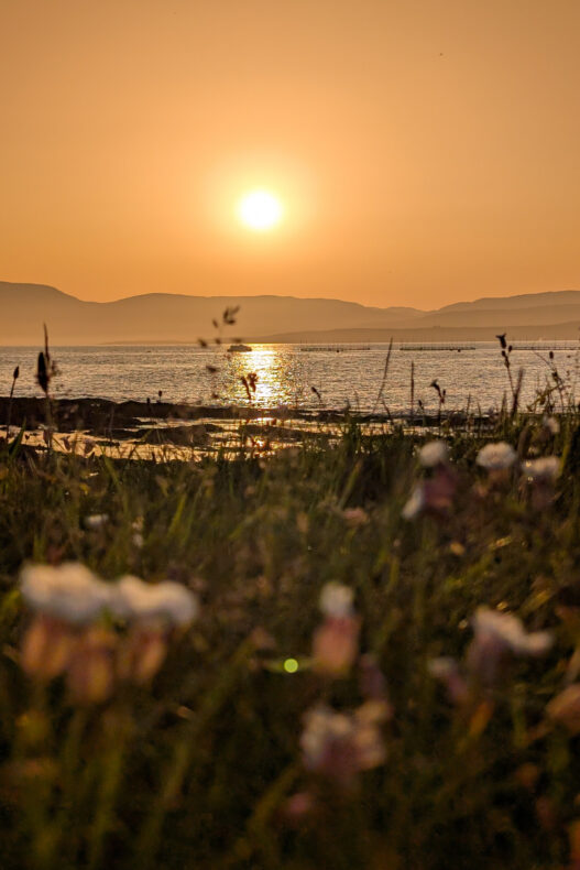
Sneem was where I celebrated my birthday, on the hottest day of the whole trip. We found a shady picnic spot and brought out a supermarket cake. At 31 degrees, a bit of shade was the best present going.
After that I headed off alone in the heat to The Way the Fairies Went, because I still wanted to take a look: four stone pyramids at the edge of the village, with small openings and pieces of stained glass set into the walls. Artist James Scanlon made them with local stonemasons as a nod to Kerry’s old dry-stone building and Irish fairy lore.
Sneem itself is small: two little squares, painted houses and a river tumbling over the rocks under the bridge. A good place for an ice cream and a short stroll before you drive on.
#3 Derrynane Beach: white sand and clear water
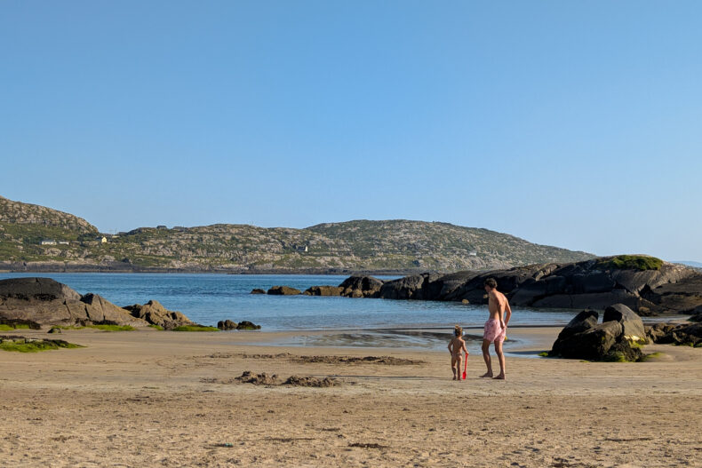
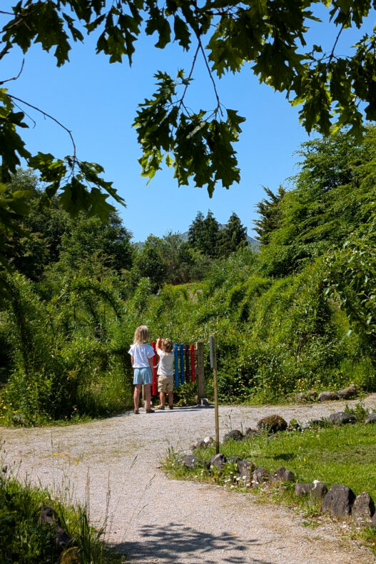
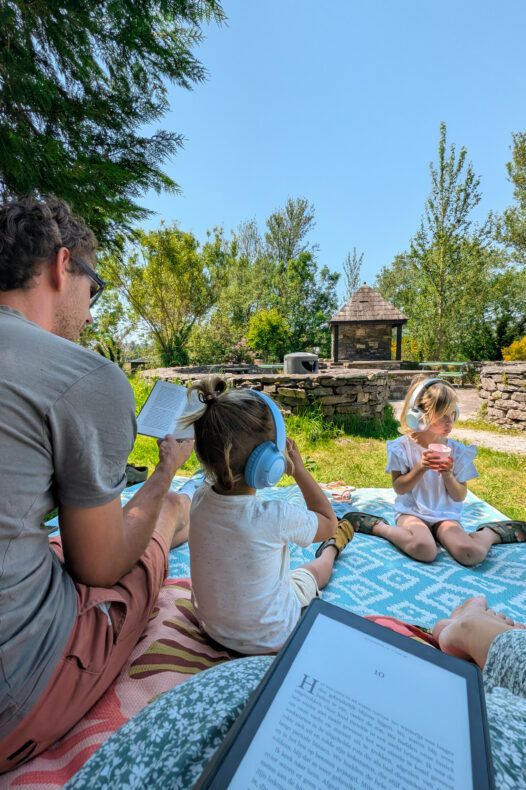
We saved Derrynane for late afternoon. Only around five did the sand cool down enough to walk on, and then the bay turned out to be exactly what we needed. A wide sweep of white sand, water so clear you can see the bottom and rocks the kids were scrambling over within seconds. In that heat it felt more Mediterranean than Irish. We swam, played in the waves and stayed until the sun was low.
Do keep an eye on the signs when swimming, as there are dangerous currents in a few spots.
Behind the beach is the park of Derrynane House, the family home of Daniel O’Connell. The Liberator, as the Irish call him, helped win Catholics the right to sit in parliament again from 1829. At low tide you can walk across the sand to Abbey Island, with its medieval church ruin and graveyard.
Coming from Sneem, you can turn inland at Castlecove for Staigue Fort. The round walls of this stone fort reach over five metres high and four metres thick in places, all stacked without mortar.
#4 Waterville and Inny Beach: a sunset with a film crew
After Derrynane the road climbs over the Coomakesta Pass and drops down to Waterville, a seaside village on Ballinskelligs Bay. A bronze Charlie Chaplin stands on the seafront with his bowler hat and cane. The film star spent family holidays here for years.
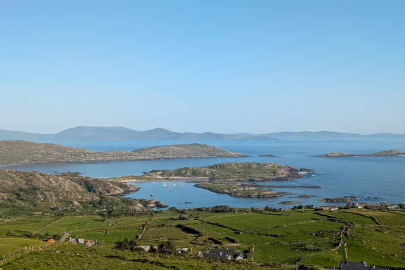
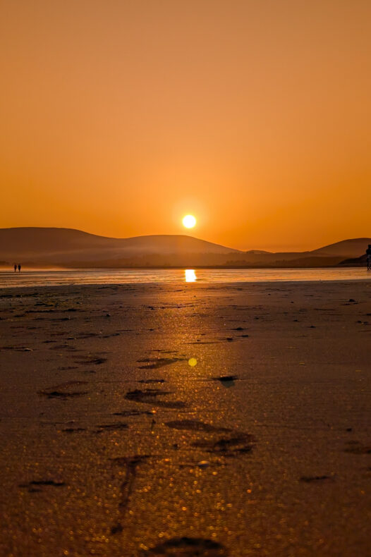
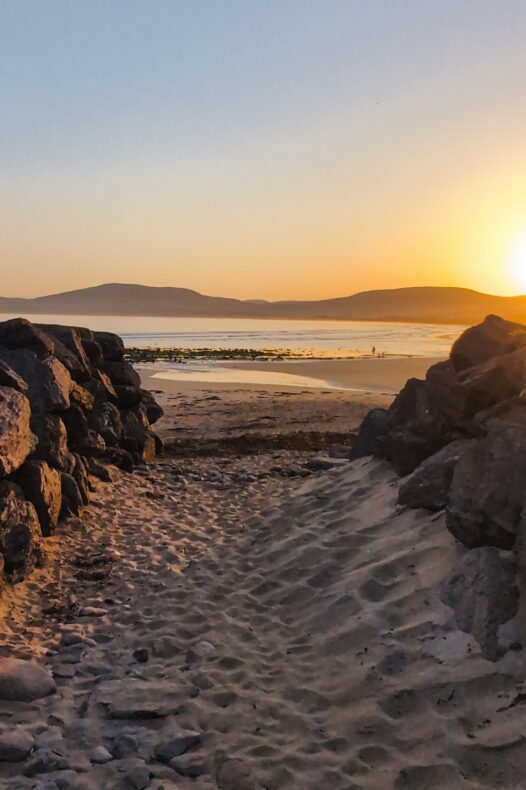
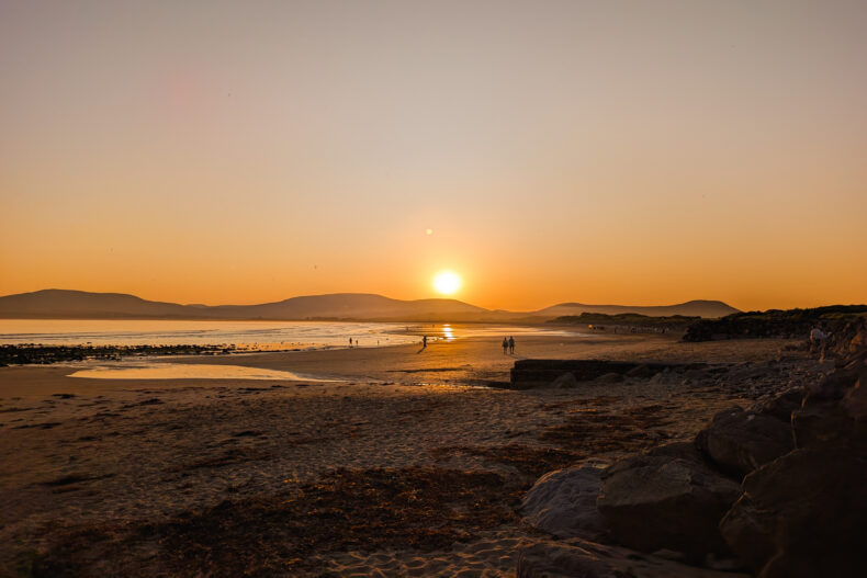
Just north of Waterville, Inny Beach stretches out: kilometres of sand and, on a normal day, barely a soul. We were unlucky, or lucky, depending on how you look at it. When we turned up around sunset, there was an entire film set on the beach: cameras, crew and even horses. It still turned into a gorgeous evening as the sun sank behind the rocks into the sea.
The next morning it was a different, completely deserted beach. The kids played in the sand until we really had to move on.
#5 Skellig Ring and Kerry Cliffs: the best stretch of the drive
Just past Waterville, the Skellig Ring peels off the main route. The road narrows, the coaches stay behind and the landscape gets wilder: heather, stone walls and one bay after another. Ballinskelligs has a sandy beach with the remains of an old abbey by the water, and from St Finian’s Bay you get your first proper look at the Skelligs.
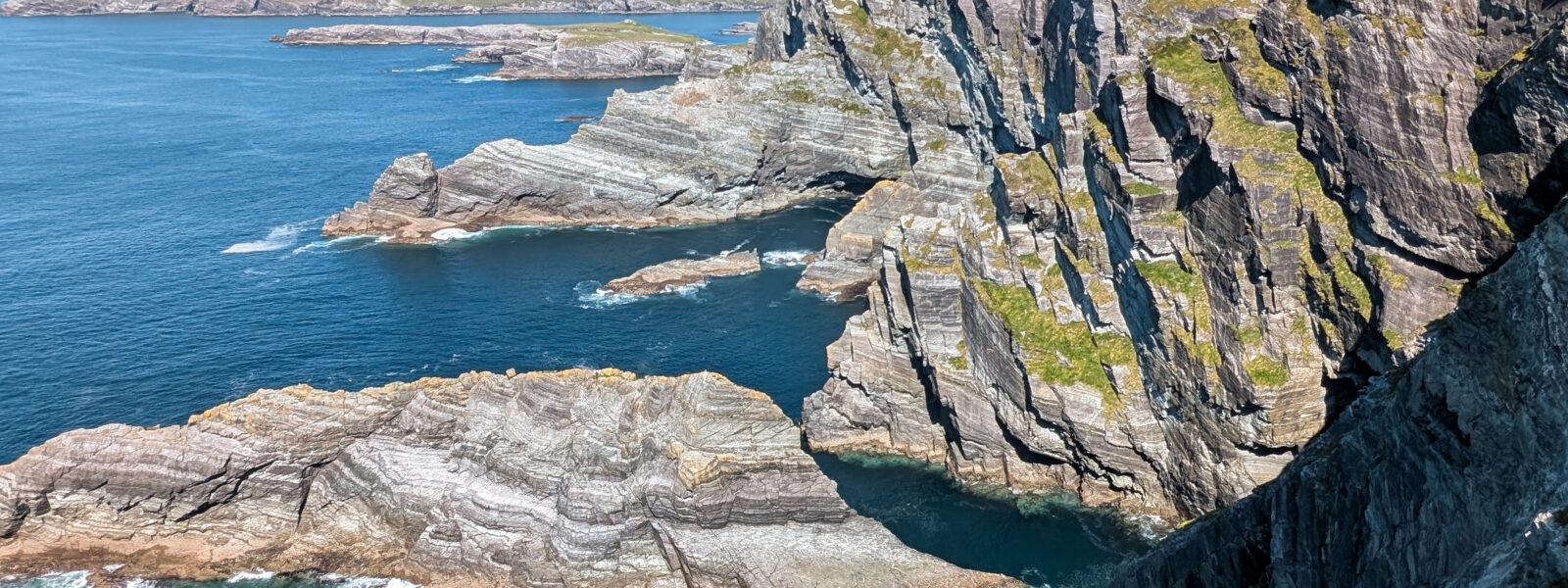
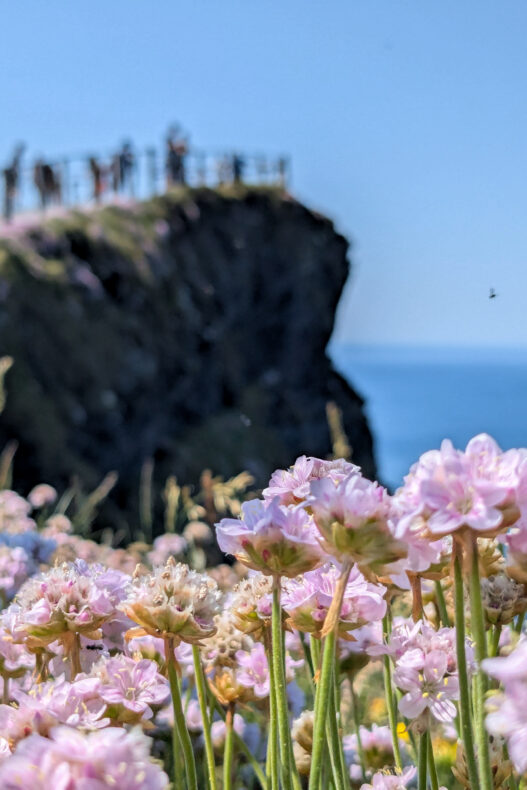
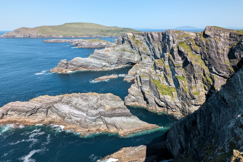
Next comes the climb over the Coomanaspig Pass, and just after that you reach the Kerry Cliffs. You pay at the entrance and walk up for a few minutes to the viewpoints. The path was scorching that afternoon, but at the top we were rewarded with a rock face dropping more than three hundred metres straight into the ocean, with pink sea thrift along the edge.
Out at sea you can see the two Skelligs jutting up: Skellig Michael with its monastery and the smaller Little Skellig. The island closer to shore is Puffin Island. I thought the Kerry Cliffs beat the famous Cliffs of Moher. You won’t have them to yourself, but they feel far less like a tourist attraction.
#6 Portmagee and Valentia Island: harbour, lighthouse and telegraph history
At the end of the Skellig Ring lies Portmagee, a harbour village with a row of painted houses along the quay. The boats to the Skelligs leave from here, and the waterfront pubs are a good bet for a seafood lunch.
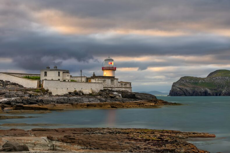
A bridge links Portmagee with Valentia Island. On the island you’ll find Cromwell Point Lighthouse, the viewpoint on Geokaun Mountain and the Skellig Experience, a visitor centre about the islands. In 1866 a transatlantic telegraph cable came ashore on Valentia. From then on, a message to America took minutes instead of more than a week by ship.
In summer, a small car ferry runs from Knightstown on the island’s east side to the mainland near Cahersiveen. It turns Valentia into a shortcut rather than a detour.
#7 Ballycarbery Castle and Cahersiveen: ivy, ring forts and golden light
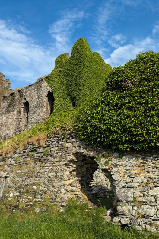
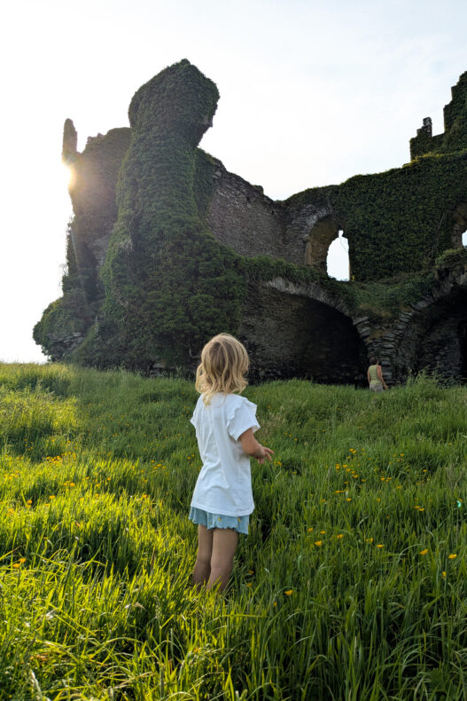
Our best evening on the Ring was at Ballycarbery Castle, just outside Cahersiveen. It’s a McCarthy castle slowly being swallowed by ivy, standing between the fields and the water. The land is private, and signs at the entrance spell out what you can and can’t do.
At the foot of the ruin, a tidal flat largely empties at low tide. As the sun went down, a couple of tractors trundled over the mudflats towards the shellfish beds. We drank coffee while the last light slid over the walls, and only then, after that blistering day, did we really unwind.
Around Cahersiveen there are also two stone ring forts over a thousand years old, Cahergall and Leacanabuaile. Well-off farming families lived behind their thick walls. At Cahergall, steps built into the wall take you to the top, while smaller Leacanabuaile still shows the remains of houses inside the ring. A little further on is White Strand, a small beach looking out towards Valentia.
#8 Lickeen Forest and Glencar: through the mountains
From Cahersiveen, the official Ring follows the north coast to Glenbeigh and Killorglin. On the way you pass Rossbeigh Strand, a seven-kilometre sand spit poking out into Dingle Bay, with the Dingle Peninsula across the water.
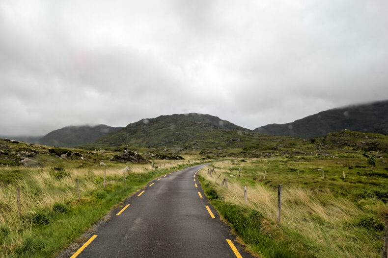
We took the inland road instead, through the Glencar valley at the foot of the MacGillycuddy’s Reeks. By now the weather had completely turned: fourteen degrees colder, low cloud and rain. Heatwave to rain gear in a single day. That’s Ireland for you.
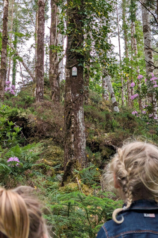
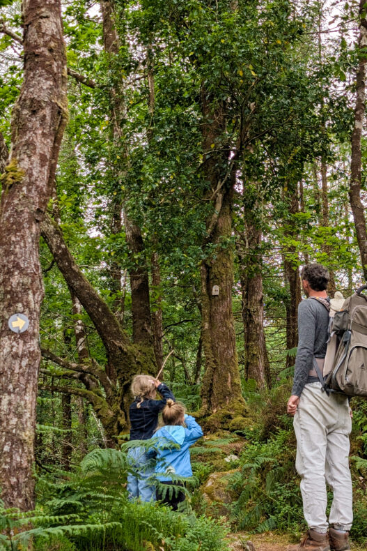
In Lickeen Forest, by the Caragh River, we did a short walk with the kids. There were tiny doors set into the tree trunks everywhere, and after that nobody had eyes for the forest itself: behind every tree there might be another little door. Pink rhododendrons were flowering between the trees, and in late spring they colour entire hillsides here.
We walked the Castle Rock Loop of about two kilometres, which climbs through the forest to a viewpoint over the valley. It’s short, but the climb means it’s described as strenuous. We simply did the walk with the kids and found it perfectly doable. Want to take it easier? Then choose the Lickeen Loop, which runs past Blackstones Bridge and along the Caragh River.
#9 Moll’s Gap and Ladies View: over the mountain passes
On the N71 from Kenmare towards Killarney, the road climbs to Moll’s Gap, a mountain pass at around 260 metres with views over the MacGillycuddy’s Reeks. We got there at the end of that rainy day and spent the evening looking out over the valley, with clouds drifting through again and again. Every now and then they parted and we caught a glimpse of the valley, and even those snatches were impressive.
At the pass there’s a shop and café run by Avoca, the Irish brand known for woollen throws and scarves, with a terrace looking out over the mountains. I enjoyed browsing the local Irish souvenirs.
A few kilometres on is Ladies View, with the lakes of Killarney far below. It’s named after Queen Victoria’s ladies-in-waiting, who couldn’t tear themselves away from the view in 1861.
#10 Killarney National Park: cycling and walking between the lakes
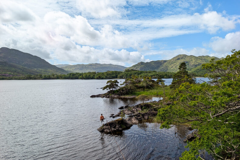
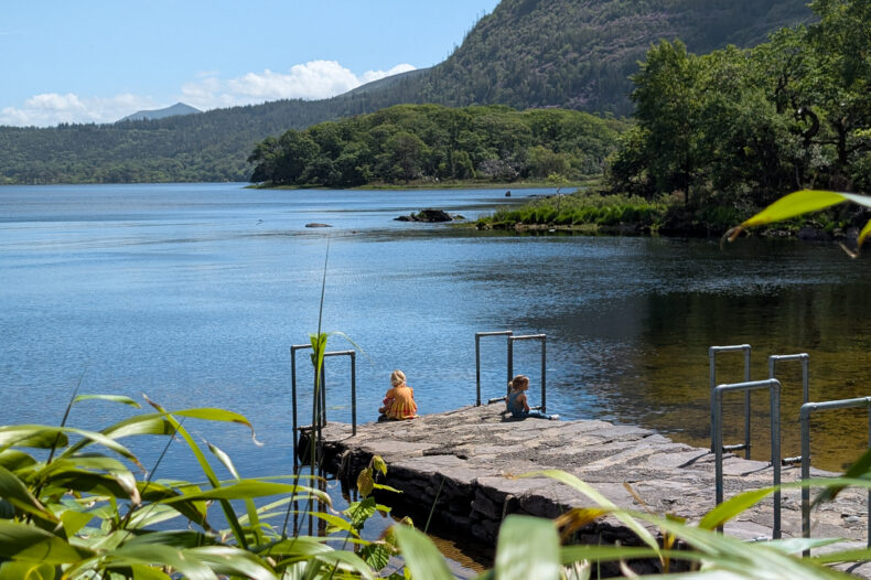
The drive ends in Killarney National Park. It grew out of the Muckross estate and in 1932 became the country’s very first national park. Three lakes, old oak woods and mountains all around: a green finale after all that coast.
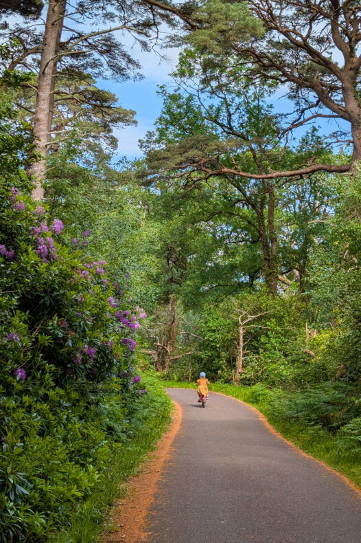
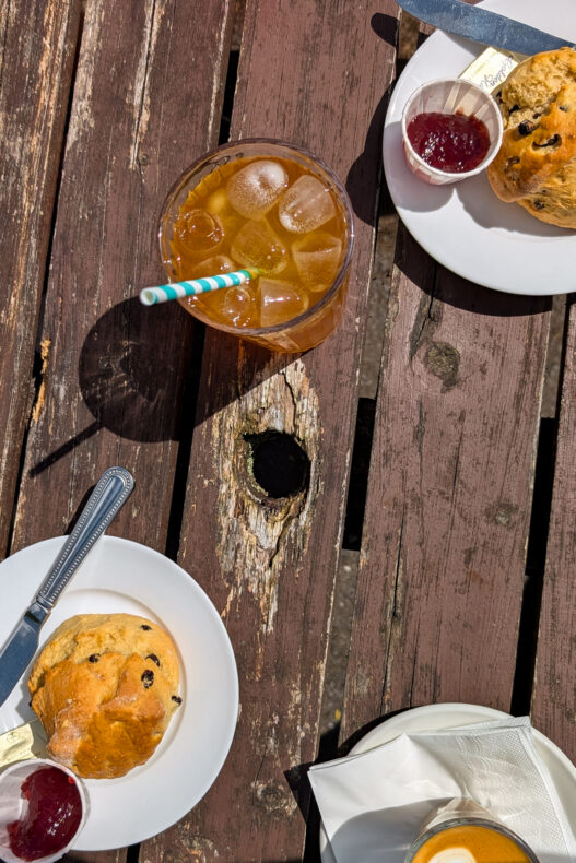
We parked at Dinis on the N71 and followed the southern stretch of the Muckross Lake Loop to Old Weir Bridge and back. The path is tarmac and flat, so the kids rode their own bikes while we walked behind. At Dinis Cottage we stopped for scones.
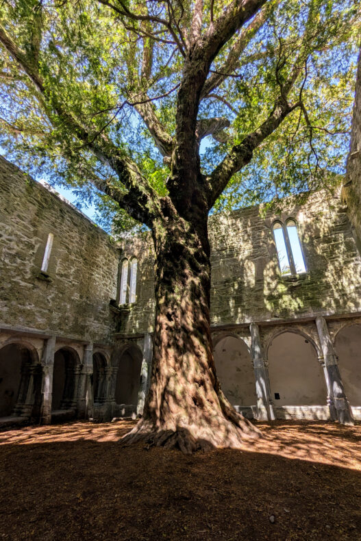
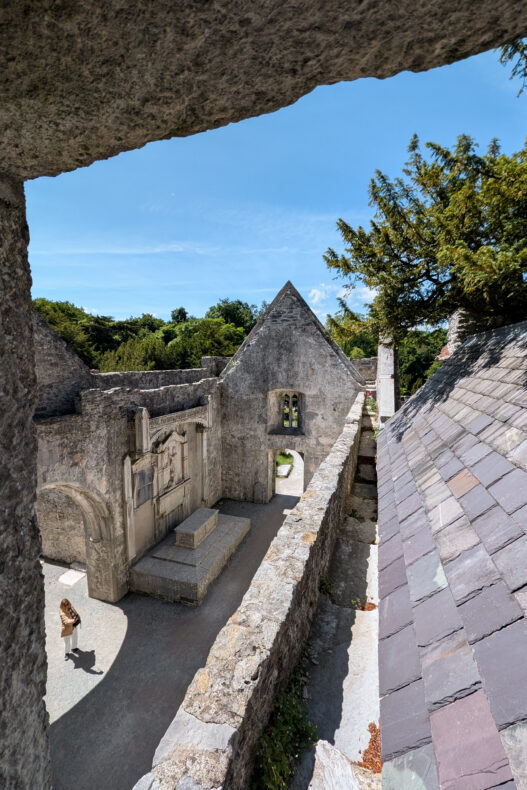
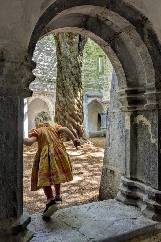
Muckross Abbey, a fifteenth-century friary ruin, is free to visit. In the middle of the cloister stands an ancient yew tree that fills the whole courtyard, as if the monks built their friary around it.
Elsewhere in the park you’ll find Muckross House, an 1843 mansion where Queen Victoria stayed in 1861, and Ross Castle, a fifteenth-century tower house on the shore of Lough Leane. Boat trips across the lake leave from Ross Castle. Torc Waterfall is on the N71 towards Kenmare: from the car park it’s a few minutes’ walk through the woods.
→ See the boat trip on Lough Leane from Ross Castle
Bonus tip: Gap of Dunloe, the mountain pass near Killarney
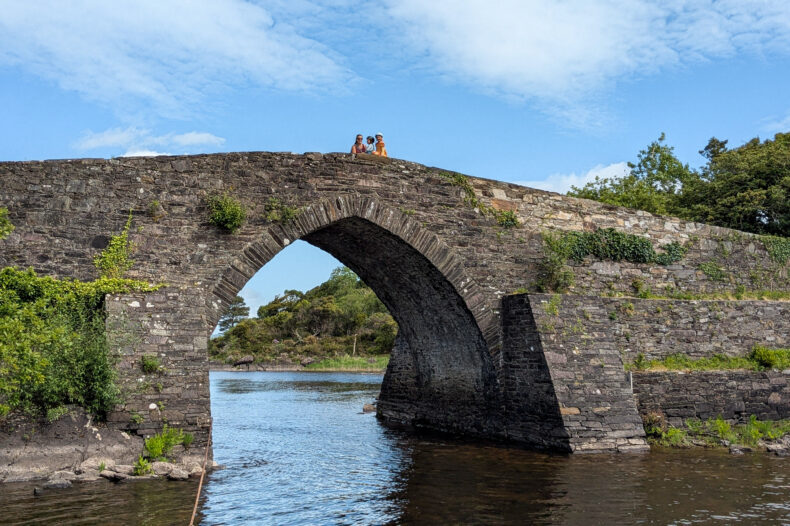
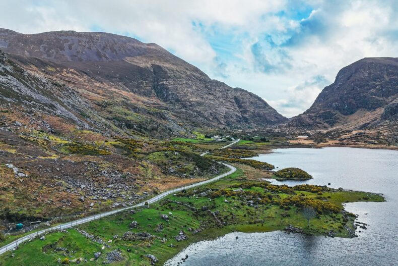
West of Killarney, the Gap of Dunloe cuts between the MacGillycuddy’s Reeks and Purple Mountain. A narrow road twists over old stone bridges and past five little lakes, from Kate Kearney’s Cottage in the north to the Black Valley.
The pass is best on foot or by bike. From the car park at Kate Kearney’s Cottage it’s an easy walk to the Wishing Bridge, even with kids. The full pass to Lord Brandon’s Cottage is just over ten kilometres, and from there you can take the boat back to Ross Castle, with the Killarney lakes as the finishing touch. We didn’t get round to it ourselves.
Skellig Michael: the monastery island off the coast
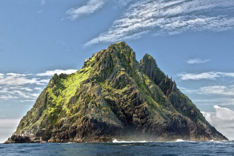
More than ten kilometres offshore, Skellig Michael rises out of the ocean like a sharp spike. Somewhere between the sixth and eighth centuries, monks built a monastery here, as far from the world as they could get. They cut terraces into the steep slope and stacked stone beehive huts without mortar. Their drinking water was rain, caught in basins carved into the rock.
The monks only moved to the mainland around the thirteenth century. Since 1996 the island has been a UNESCO World Heritage Site, and ever since Luke Skywalker made it his home in The Force Awakens and The Last Jedi, half the world wants to climb those steps.
Can you visit Skellig Michael?
Yes, but only in the summer months and with a limited number of landing boats a day. On the island you climb more than six hundred uneven steps to the monastery, with no handrail. Children under twelve can’t land, and nobody sails in strong wind or big swells. So book early and keep a spare day.
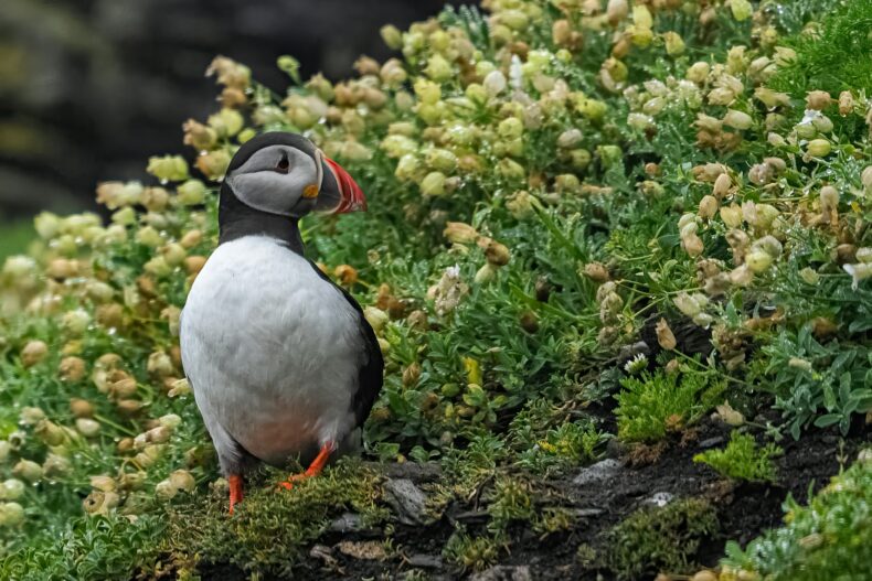
With our young kids, we preferred to admire the Skelligs from the Kerry Cliffs. Want a closer look without landing? Take a cruise around the islands from Portmagee. You sail round both of them, see the monastery perched on top of the rock and the thousands of gannets that turn Little Skellig white. In spring and early summer there are puffins flying around too.
→ See the boat trip around Skellig Michael from Portmagee
Our tip: plan the route, keep the days loose
Split your time roughly into three chunks: the south coast from Kenmare via Sneem to Derrynane, the west with the Skellig Ring and Cahersiveen, and the mountains with Killarney. Don’t try to tick off every beach and fort just because it happens to be on the way.
In the end, our favourite moments weren’t on any list. Birthday cake in the shade in Sneem, golden hour on a busy beach that was all ours the next morning, and evening coffee at Ballycarbery in the last of the light. The scenery makes the Ring of Kerry beautiful, but those moments in between made it unforgettable for us.
→ Discover the 18 best stops on the Wild Atlantic Way
→ Discover our 3-week Ireland road trip itinerary in 10 stops
More tips for the Ring of Kerry
 Our pickStill looking? Browse all hotels in Kerry on Booking
 Driving the Ring of Kerry? Rent a car with Discover Cars and compare the big rental companies in one go.
 Fancy doing it by camper, like we did? Rent a campervan with Campervan Planet and wake up by the sea.
 No flight yet? Compare flights to Dublin, Shannon or Cork.
 Discover all our blogs about Ireland